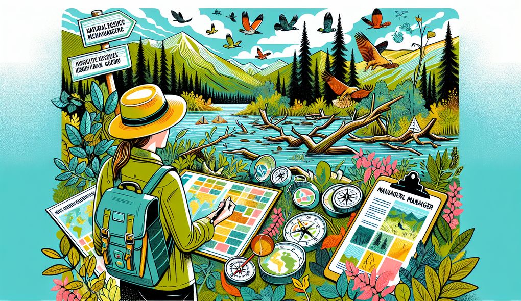
Can you provide an example of a time when you used GIS and other resource management tools effectively?
SENIOR LEVEL
Sample answer to the question:
Yes, I have used GIS and other resource management tools effectively in my previous role as a Natural Resource Manager. One specific example is when I was tasked with developing a resource management plan for a conservation area. I used GIS to map out the area and identify key features such as habitats, species distributions, and water resources. I also used resource management tools to analyze the data and determine the most effective strategies for conservation. By integrating GIS data with other resource management tools, I was able to develop a comprehensive plan that balanced the needs of the environment with the needs of the community. This plan guided the implementation of sustainable practices and helped increase the overall effectiveness of resource management in the area.
Here is a more solid answer:
Certainly! In my role as a Natural Resource Manager, I was responsible for developing a comprehensive resource management plan for a protected area. One of the key aspects of this project was utilizing GIS and other resource management tools effectively. I started by gathering relevant spatial data, such as land cover types, species habitats, and environmental factors. I used GIS to map out these data layers and identify areas of high ecological importance that required conservation efforts. By analyzing the data in combination with on-the-ground ecological surveys, I was able to determine the most suitable strategies for resource management, such as habitat restoration, species monitoring, and invasive species control. To ensure effective communication and stakeholder engagement, I organized workshops and meetings with local community members, government agencies, and environmental organizations. By presenting the GIS analyses and explaining the rationale behind the proposed management strategies, I gained their support and collaboration. This collaborative approach ensured that the resource management plan aligned with the needs of all stakeholders while following the environmental regulations. Additionally, my analytical thinking and decision-making skills allowed me to prioritize conservation efforts based on the urgency and ecological significance of different areas. The success of this project was evident in the positive impact it had on the local ecosystem, with an increase in biodiversity and improved habitat quality. My proficiency in GIS and other resource management tools played a crucial role in the success of this project.
Why is this a more solid answer?
The solid answer provides a more comprehensive response by including specific details of the resource management plan, stakeholder engagement, and decision-making process. However, it can be further improved by adding more information about the candidate's technical proficiency and environmental knowledge.
An example of a exceptional answer:
Absolutely! Let me share a specific example from my experience as a Natural Resource Manager where I effectively utilized GIS and other resource management tools to address complex challenges. In one project, I was tasked with conserving a sensitive wetland ecosystem that was at risk due to urban development. To develop an effective management plan, I started by collecting various spatial data using GIS, such as land cover, hydrology, and wildlife distribution. By integrating these data sets, I conducted a comprehensive analysis to identify potential threats and prioritize conservation actions. Using GIS, I created multi-layered maps that visualized the extent of wetland loss and identified key areas for habitat restoration. To ensure the plan aligned with environmental regulations, I conducted thorough research on relevant laws and regulations, and incorporated them into the management strategies. Effective communication and stakeholder engagement were essential throughout the process. I organized public consultations, engaging local communities and stakeholders, and facilitating dialogue to address concerns and gain their perspectives. I also collaborated with government agencies and non-profit organizations to secure funding for the implementation of conservation projects. The success of the management plan was evaluated through regular monitoring and assessment of key indicators, such as water quality, biodiversity, and wetland extent, using GIS and other monitoring tools. The results showed a significant improvement in the wetland ecosystem health, with increased wildlife populations and enhanced biodiversity. This project not only demonstrated my technical proficiency in GIS and resource management tools but also highlighted my ability to leverage these tools to address complex environmental challenges and engage stakeholders effectively.
Why is this an exceptional answer?
The exceptional answer provides a more in-depth and detailed response, showcasing the candidate's expertise and accomplishment in utilizing GIS and resource management tools to address complex challenges. It demonstrates strong strategic planning and project management skills, effective communication and stakeholder engagement, analytical thinking and decision-making abilities, as well as a deep understanding of environmental and ecological knowledge.
How to prepare for this question:
- Familiarize yourself with various GIS software and resource management tools commonly used in the industry. Understand their capabilities, features, and how they can be effectively utilized in natural resource management.
- Stay updated on the latest research and trends in environmental science and resource management, especially related to GIS applications and tools.
- Prepare examples from previous experiences where you successfully used GIS and resource management tools. Focus on highlighting specific challenges, actions taken, and outcomes achieved.
- Develop strong communication skills to effectively articulate complex GIS analyses and management strategies to both technical and non-technical stakeholders.
What are interviewers evaluating with this question?
- Strategic planning and project management
- Effective communication and stakeholder engagement
- Analytical thinking and decision-making
- Environmental and ecological knowledge
- Technical proficiency in GIS and related technologies
Want content like this in your inbox? Sign Up for our Newsletter
Related Interview Questions